 Lola B
Current Status
Where is the vessel?
Lola B is currently in 25 nm S of Carchuna, based on AIS data received about 16h ago.
Latest AIS update:
Current position: 36.29484° N, 3.29789° W (25 nm S of Carchuna)
Average speed (last 7 days): Loading…
Average speed (last 30 days): Loading…
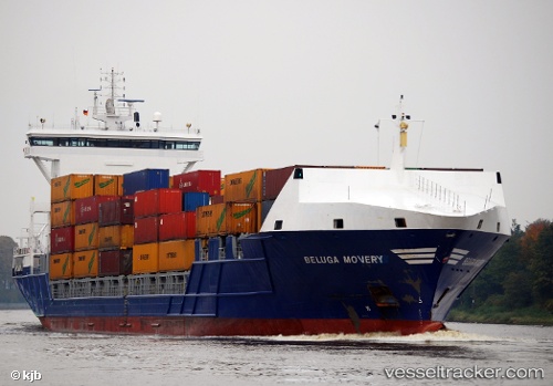
Vessel profile: Lola B is a Container Ship with dimensions 155m x 155m.
This page combines live AIS, route history, probable destination signals, nearby traffic, and port activity for practical vessel monitoring.
The current position of vessel Lola B is 36.29484 lat / -3.29789 lng. Updated: 2026-05-24 23:39:54 UTCNearest reference points:
- 23 nm S of Carchuna
- 29 nm S of Carchuna
- Near MOTRIL
Currently sailing under the flag of Portugal ![]()
Lola B built in 2007 year
Deadweight:
10750 tDetails:
Live Vessel Lola B Analytics (details, animations, etc.)
Recent AIS points (UTC):
2026-05-24 20:21:27 UTC · 36.38435, -2.60848 · SOG 10.5 kn · COG 260°2026-05-24 21:36:16 UTC · 36.35752, -2.87727 · SOG 10.1 kn · COG 258°
2026-05-24 23:03:14 UTC · 36.31260, -3.17370 · SOG 10.1 kn · COG 259°
2026-05-24 23:39:54 UTC · 36.29484, -3.29789 · SOG 10.2 kn · COG 263°