 vesseltracker.com
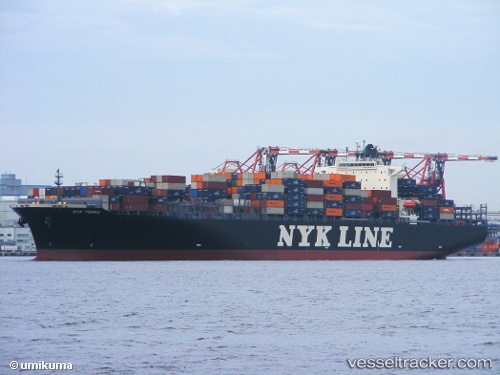
 HAKUNA MATATA
Current Status
Where is the vessel?
HAKUNA MATATA is currently in Near Xianlang, based on AIS data received less than 1h ago.
Latest AIS update:
Current position: 35.95417° N, 120.41875° E (Near Xianlang)
Average speed (last 7 days): Loading…
Average speed (last 30 days): Loading…
Vessel profile: HAKUNA MATATA is a Container Ship with dimensions 304m x 40m.
This page combines live AIS, route history, probable destination signals, nearby traffic, and port activity for practical vessel monitoring.
The current position of vessel HAKUNA MATATA is 35.95417 lat / 120.41875 lng. Updated: 2026-05-02 18:13:38 UTCNearest reference points:
- 13 nm SE of Xianlang
- Near Xianlang
- 12 nm S of Xianlang
Currently sailing under the flag of Liberia ![]()
HAKUNA MATATA built in 2008 year
Deadweight:
80282 tDetails:
Live Vessel HAKUNA MATATA Analytics (details, animations, etc.)
Recent AIS points (UTC):
2026-05-02 14:00:28 UTC · 35.95526, 120.41580 · SOG 0.2 kn · COG 176°2026-05-02 15:21:22 UTC · 35.95387, 120.41905 · SOG 0.1 kn · COG 250°
2026-05-02 16:31:36 UTC · 35.95365, 120.41924 · SOG 0 kn · COG 255°
2026-05-02 18:13:38 UTC · 35.95417, 120.41875 · SOG 0 kn · COG 235°