 JASMINE
Current Status
Where is the vessel?
JASMINE is currently in Near JINHAI HEAVY INDUSTR, based on AIS data received about 15h ago.
Latest AIS update:
Current position: 30.27772° N, 122.07829° E (Near JINHAI HEAVY INDUSTR)
Average speed (last 7 days): Loading…
Average speed (last 30 days): Loading…
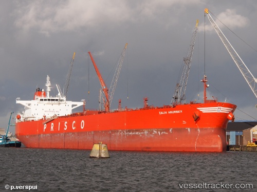
Vessel profile: JASMINE is a Crude Oil Tanker with dimensions m x m.
This page combines live AIS, route history, probable destination signals, nearby traffic, and port activity for practical vessel monitoring.
The current position of vessel JASMINE is 30.27772 lat / 122.07829 lng. Updated: 2026-06-17 11:57:00 UTCNearest reference points:
- Near JINHAI HEAVY INDUSTR
- 11 nm N of Majistan/Zhoushan
- 11 nm NW of JINHAI HEAVY INDUSTR
Currently sailing under the flag of Oman ![]()
Details:
Live Vessel JASMINE Analytics (details, animations, etc.)
Recent AIS points (UTC):
2026-06-17 08:07:22 UTC · 30.28797, 122.07030 · SOG 0.1 kn · COG 292°2026-06-17 10:18:00 UTC · 30.27577, 122.08280 · SOG 0 kn · COG 295°
2026-06-17 10:32:58 UTC · 30.27618, 122.08289 · SOG 0 kn · COG 278°
2026-06-17 11:57:00 UTC · 30.27772, 122.07829 · SOG 0.1 kn · COG 119°