 PINAR GAS
Current Status
Where is the vessel?
PINAR GAS is currently in 67 nm SW of Jodhpur, based on AIS data received about 14h ago.
Latest AIS update:
Current position: 21.25746° N, 69.03490° E (67 nm SW of Jodhpur)
Average speed (last 7 days): Loading…
Average speed (last 30 days): Loading…
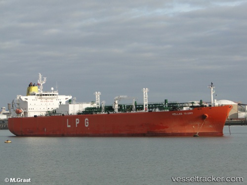
Vessel profile: PINAR GAS is a Lpg Tanker with dimensions m x m.
This page combines live AIS, route history, probable destination signals, nearby traffic, and port activity for practical vessel monitoring.
The current position of vessel PINAR GAS is 21.25746 lat / 69.03490 lng. Updated: 2026-05-19 21:40:28 UTCNearest reference points:
- 54 nm S of Positra
- 49 nm S of Positra
- Near Khambhaliya
Currently sailing under the flag of Panama ![]()
Details:
Live Vessel PINAR GAS Analytics (details, animations, etc.)
Recent AIS points (UTC):
2026-05-19 18:13:30 UTC · 21.25781, 69.03478 · SOG 0.5 kn · COG 266°2026-05-19 19:43:29 UTC · 21.25765, 69.03494 · SOG 0.4 kn · COG 266°
2026-05-19 19:52:26 UTC · 21.25764, 69.03500 · SOG 0.1 kn · COG 266°
2026-05-19 21:40:28 UTC · 21.25746, 69.03490 · SOG 0.2 kn · COG 271°