 SEAWAYS LILY
Current Status
Where is the vessel?
SEAWAYS LILY is currently in 301 nm N of Johnston Island, based on AIS data received about 15h ago.
Latest AIS update:
Current position: 21.69633° N, 170.21454° W (301 nm N of Johnston Island)
Average speed (last 7 days): Loading…
Average speed (last 30 days): Loading…
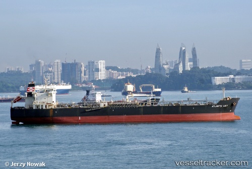
Vessel profile: SEAWAYS LILY is a Oil/Chemical Tanker with dimensions m x m.
This page combines live AIS, route history, probable destination signals, nearby traffic, and port activity for practical vessel monitoring.
The current position of vessel SEAWAYS LILY is 21.69633 lat / -170.21454 lng. Updated: 2026-07-08 11:50:26 UTCNearest reference points:
- Open sea, approx. 401 nm off the nearest listed port
- Open sea, approx. 484 nm off the nearest listed port
- Open sea (no nearby ports in database)
Currently sailing under the flag of Marshall Islands ![]()
Details:
Live Vessel SEAWAYS LILY Analytics (details, animations, etc.)
Recent AIS points (UTC):
2026-07-08 09:15:19 UTC · 21.48448, -169.66396 · SOG 12.6 kn · COG 293°2026-07-08 09:32:28 UTC · 21.50726, -169.72293 · SOG 12.4 kn · COG 292°
2026-07-08 11:46:50 UTC · 21.69138, -170.20155 · SOG 12.7 kn · COG 292°
2026-07-08 11:50:26 UTC · 21.69633, -170.21454 · SOG 12.9 kn · COG 291°