 ATLANTIS ALEXANDRIA
Current Status
Where is the vessel?
ATLANTIS ALEXANDRIA is currently in Near Pasadena, based on AIS data received about 14h ago.
Latest AIS update:
Current position: 29.73051° N, 95.13399° W (Near Pasadena)
Average speed (last 7 days): Loading…
Average speed (last 30 days): Loading…
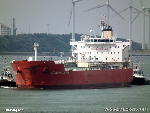
Vessel profile: ATLANTIS ALEXANDRIA is a Oil/Chemical Tanker with dimensions m x m.
This page combines live AIS, route history, probable destination signals, nearby traffic, and port activity for practical vessel monitoring.
The current position of vessel ATLANTIS ALEXANDRIA is 29.73051 lat / -95.13399 lng. Updated: 2026-05-20 00:16:09 UTCNearest reference points:
- Near Jacinto City
- Near Morgan Point
- Near Pasadena
Currently sailing under the flag of Marshall Islands ![]()
Details:
Live Vessel ATLANTIS ALEXANDRIA Analytics (details, animations, etc.)
Recent AIS points (UTC):
2026-05-19 19:33:30 UTC · 29.73053, -95.13400 · SOG 0 kn · COG 56°2026-05-19 22:15:39 UTC · 29.73047, -95.13387 · SOG 0 kn · COG 56°
2026-05-19 22:21:28 UTC · 29.73050, -95.13397 · SOG 0 kn · COG 56°
2026-05-20 00:16:09 UTC · 29.73051, -95.13399 · SOG 0 kn · COG -1°