 vesseltracker.com
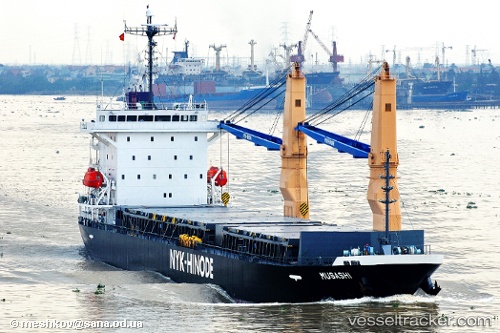
Grand Way Star
Current StatusWhere is the vessel?
Grand Way Star is currently in 255 nm W of LHOKNGA, based on AIS data received less than 1h ago.
Latest AIS update:
Current position: 4.87480° N, 91.02181° E (255 nm W of LHOKNGA)
Average speed (last 7 days): Loading…
Average speed (last 30 days): Loading…
Vessel profile: Grand Way Star is a General Cargo Ship with dimensions 21m x 132m.
This page combines live AIS, route history, probable destination signals, nearby traffic, and port activity for practical vessel monitoring.
The current position of vessel Grand Way Star is 4.87480 lat / 91.02181 lng. Updated: 2026-05-15 20:04:25 UTCNearest reference points:
- 243 nm E of Abakaliki
- 172 nm W of LHOKNGA
- 160 nm W of Sebang
Details:
Live Vessel Grand Way Star Analytics (details, animations, etc.)
Recent AIS points (UTC):
2026-05-15 11:19:32 UTC · 4.35973, 89.54394 · SOG 10.5 kn · COG 72°2026-05-15 11:19:32 UTC · 4.35973, 89.54394 · SOG 10.5 kn · COG 72°
2026-05-15 19:46:05 UTC · 4.84939, 90.97416 · SOG 10.5 kn · COG 60°
2026-05-15 20:04:25 UTC · 4.87480, 91.02181 · SOG 10.8 kn · COG 70°