 Pavo J
Current Status
Where is the vessel?
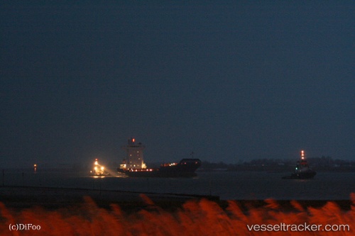
Pavo J is currently in Near Rotterdam, based on AIS data received about 14h ago.
Latest AIS update:
Current position: 51.89498° N, 4.44876° E (Near Rotterdam)
Average speed (last 7 days): Loading…
Average speed (last 30 days): Loading…
Vessel profile: Pavo J is a Container Ship with dimensions 139m x 22m.
This page combines live AIS, route history, probable destination signals, nearby traffic, and port activity for practical vessel monitoring.
The current position of vessel Pavo J is 51.89498 lat / 4.44876 lng. Updated: 2026-06-14 21:24:26 UTCNearest reference points:
- Near Rotterdam
- Near ROTTERDAM WAALHAVEN
- Near DELFSHAVEN
Currently sailing under the flag of Antigua Barbuda ![]()
Pavo J built in 2007 year
Deadweight:
11180 tDetails:
Live Vessel Pavo J Analytics (details, animations, etc.)
Recent AIS points (UTC):
2026-06-14 18:24:14 UTC · 51.89500, 4.44875 · SOG 0 kn · COG -1°2026-06-14 19:21:18 UTC · 51.89500, 4.44876 · SOG 0 kn · COG 107°
2026-06-14 19:21:27 UTC · 51.89500, 4.44876 · SOG 0 kn · COG 107°
2026-06-14 21:24:26 UTC · 51.89498, 4.44876 · SOG 0 kn · COG 107°