 vesseltracker.com
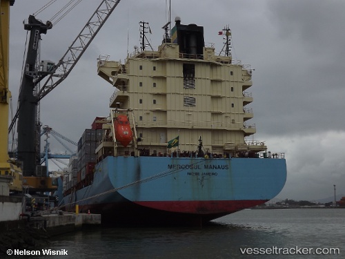
 Maersk Nairobi
Current Status
Where is the vessel?
Maersk Nairobi is currently in 73 nm SW of Dakar, based on AIS data received less than 1h ago.
Latest AIS update:
Current position: 13.65780° N, 18.10253° W (73 nm SW of Dakar)
Average speed (last 7 days): Loading…
Average speed (last 30 days): Loading…
Vessel profile: Maersk Nairobi is a Container Ship with dimensions 210m x 30m.
This page combines live AIS, route history, probable destination signals, nearby traffic, and port activity for practical vessel monitoring.
The current position of vessel Maersk Nairobi is 13.65780 lat / -18.10253 lng. Updated: 2026-05-15 11:48:33 UTCNearest reference points:
- Near Dakar
- Near Rufisque
- 48 nm W of Cap Skiring
Currently sailing under the flag of Singapore ![]()
Maersk Nairobi built in 2009 year
Deadweight:
35220 tDetails:
Live Vessel Maersk Nairobi Analytics (details, animations, etc.)
Recent AIS points (UTC):
2026-05-15 08:15:48 UTC · 12.78675, -18.03200 · SOG 14.8 kn · COG 357°2026-05-15 09:26:33 UTC · 13.08123, -18.05210 · SOG 14.8 kn · COG 354°
2026-05-15 10:06:50 UTC · 13.24667, -18.06680 · SOG 14.8 kn · COG 354°
2026-05-15 11:48:33 UTC · 13.65780, -18.10253 · SOG 14.5 kn · COG 355°