 vesseltracker.com
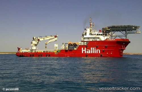
 Fugro Mariner
Current Status
Where is the vessel?
Fugro Mariner is currently in 20 nm NE of Hat Yai International Apt, based on AIS data received about 14h ago.
Latest AIS update:
Current position: 7.20230° N, 100.58683° E (20 nm NE of Hat Yai International Apt)
Average speed (last 7 days): Loading…
Average speed (last 30 days): Loading…
Vessel profile: Fugro Mariner is a Offshore Support Vessel with dimensions 76m x 20m.
This page combines live AIS, route history, probable destination signals, nearby traffic, and port activity for practical vessel monitoring.
The current position of vessel Fugro Mariner is 7.20230 lat / 100.58683 lng. Updated: 2026-05-17 19:44:26 UTCNearest reference points:
- Near LANGKAWI
- Near Tanjung Lembung
- 13 nm SW of Sathun
Currently sailing under the flag of Bahamas ![]()
Fugro Mariner built in 2007 year
Deadweight:
1978 tDetails:
Live Vessel Fugro Mariner Analytics (details, animations, etc.)
Recent AIS points (UTC):
2026-05-17 16:23:16 UTC · 7.20230, 100.58685 · SOG 0 kn · COG 340°2026-05-17 18:17:16 UTC · 7.20229, 100.58684 · SOG 0 kn · COG 340°
2026-05-17 19:14:17 UTC · 7.20230, 100.58683 · SOG 0 kn · COG 340°
2026-05-17 19:44:26 UTC · 7.20230, 100.58683 · SOG 0 kn · COG 340°