 Bornholm
Current Status
Where is the vessel?
Bornholm is currently in Near Les Jonchets, based on AIS data received about 15h ago.
Latest AIS update:
Current position: 43.91764° N, 5.67474° W (Near Les Jonchets)
Average speed (last 7 days): Loading…
Average speed (last 30 days): Loading…
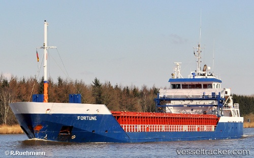
Vessel profile: Bornholm is a Cement Carrier with dimensions 90m x 14m.
This page combines live AIS, route history, probable destination signals, nearby traffic, and port activity for practical vessel monitoring.
The current position of vessel Bornholm is 43.91764 lat / -5.67474 lng. Updated: 2026-05-27 10:10:54 UTCNearest reference points:
- Near Musel-Arnao
- Near Tremanes
- Near San Juan de Nieva
Currently sailing under the flag of Netherlands ![]()
Bornholm built in 2008 year
Deadweight:
4537 tDetails:
Live Vessel Bornholm Analytics (details, animations, etc.)
Recent AIS points (UTC):
2026-05-27 07:37:22 UTC · 43.56747, -5.69868 · SOG 0 kn · COG 112°2026-05-27 07:43:23 UTC · 43.56747, -5.69869 · SOG 0 kn · COG 112°
2026-05-27 09:25:14 UTC · 43.78084, -5.67195 · SOG 10.9 kn · COG 359°
2026-05-27 10:10:54 UTC · 43.91764, -5.67474 · SOG 10.5 kn · COG 0°