 vesseltracker.com
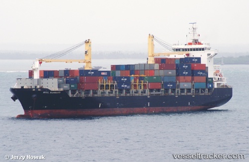
 Anl Emora
Current Status
Where is the vessel?
Anl Emora is currently in 19 nm SE of Davao, based on AIS data received less than 1h ago.
Latest AIS update:
Current position: 6.82541° N, 125.82090° E (19 nm SE of Davao)
Average speed (last 7 days): Loading…
Average speed (last 30 days): Loading…
Vessel profile: Anl Emora is a Container Ship with dimensions 180m x 28m.
This page combines live AIS, route history, probable destination signals, nearby traffic, and port activity for practical vessel monitoring.
The current position of vessel Anl Emora is 6.82541 lat / 125.82090 lng. Updated: 2026-04-01 15:49:15 UTCNearest reference points:
- Near DICT / SVT
- 48 nm N of Melonguanne
Currently sailing under the flag of Panama ![]()
Details:
Live Vessel Anl Emora Analytics (details, animations, etc.)
Recent AIS points (UTC):
2026-04-01 10:12:09 UTC · 7.08500, 125.82899 · SOG 12.7 kn · COG 179°2026-04-01 11:28:09 UTC · 6.85333, 125.85500 · SOG 5 kn · COG -1°
2026-04-01 14:19:07 UTC · 6.83304, 125.83539 · SOG 0.5 kn · COG -1°
2026-04-01 15:49:15 UTC · 6.82541, 125.82090 · SOG 0.5 kn · COG -1°