 vesseltracker.com
 SALAMANDER
Current Status
Where is the vessel?
SALAMANDER is currently in 39 nm N of Tambanum, based on AIS data received about 15h ago.
Latest AIS update:
Current position: 3.55151° S, 143.64851° E (39 nm N of Tambanum)
Average speed (last 7 days): Loading…
Average speed (last 30 days): Loading…
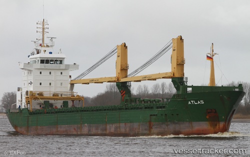
Vessel profile: SALAMANDER is a General Cargo Ship with dimensions 120m x 16m.
This page combines live AIS, route history, probable destination signals, nearby traffic, and port activity for practical vessel monitoring.
The current position of vessel SALAMANDER is -3.55151 lat / 143.64851 lng. Updated: 2026-05-18 11:35:32 UTCCurrently sailing under the flag of Papua New Guinea ![]()
SALAMANDER built in 2006 year
Deadweight:
7749 tDetails:
Live Vessel SALAMANDER Analytics (details, animations, etc.)
Recent AIS points (UTC):
2026-05-18 07:42:02 UTC · -3.55145, 143.64850 · SOG 0 kn · COG 58°2026-05-18 10:01:25 UTC · -3.55178, 143.64859 · SOG 0 kn · COG 50°
2026-05-18 11:00:33 UTC · -3.55177, 143.64891 · SOG 0.1 kn · COG 46°
2026-05-18 11:35:32 UTC · -3.55151, 143.64851 · SOG 0.1 kn · COG 67°