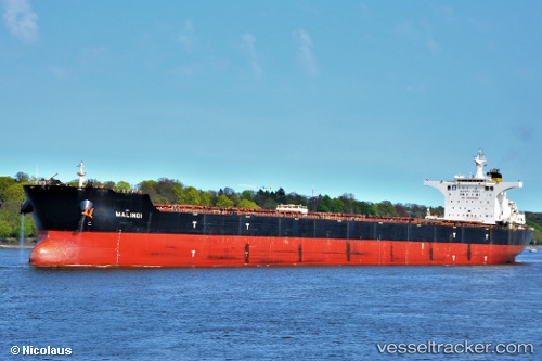
 Malindi
Current Status
Where is the vessel?
Malindi is currently in 75 nm NE of Jingjiang, based on AIS data received about 15h ago.
Latest AIS update:
Current position: 31.80126° N, 123.61255° E (75 nm NE of Jingjiang)
Average speed (last 7 days): Loading…
Average speed (last 30 days): Loading…
Vessel profile: Malindi is a Bulk Carrier with dimensions 292m x 45m.
This page combines live AIS, route history, probable destination signals, nearby traffic, and port activity for practical vessel monitoring.
The current position of vessel Malindi is 31.80126 lat / 123.61255 lng. Updated: 2026-05-19 21:12:30 UTCNearest reference points:
- 70 nm NE of Jingjiang
- 77 nm NE of Jingjiang
- 117 nm NE of Jingjiang
Currently sailing under the flag of Malta ![]()
Malindi built in 2008 year
Deadweight:
177987 tDetails:
Live Vessel Malindi Analytics (details, animations, etc.)
Recent AIS points (UTC):
2026-05-19 17:32:29 UTC · 31.10212, 123.56603 · SOG 12.3 kn · COG -1°2026-05-19 19:37:49 UTC · 31.51380, 123.61538 · SOG 11.3 kn · COG 354°
2026-05-19 19:59:01 UTC · 31.57833, 123.61167 · SOG 11 kn · COG -1°
2026-05-19 21:12:30 UTC · 31.80126, 123.61255 · SOG 10 kn · COG 335°