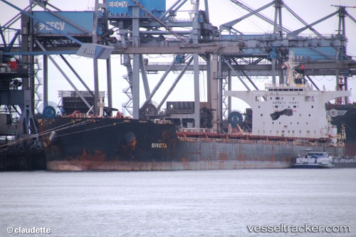
 SIVOTA
Current Status
Where is the vessel?
SIVOTA is currently in 93 nm SE of Shidao Pt, based on AIS data received about 14h ago.
Latest AIS update:
Current position: 35.83333° N, 123.85667° E (93 nm SE of Shidao Pt)
Average speed (last 7 days): Loading…
Average speed (last 30 days): Loading…
Vessel profile: SIVOTA is a Bulk Carrier with dimensions 45m x 292m.
This page combines live AIS, route history, probable destination signals, nearby traffic, and port activity for practical vessel monitoring.
The current position of vessel SIVOTA is 35.83333 lat / 123.85667 lng. Updated: 2026-05-21 06:49:53 UTCNearest reference points:
- 78 nm SE of Shidao Pt
- 93 nm SE of SHIDAO
- 72 nm SE of Shidao Pt
Currently sailing under the flag of Liberia ![]()
SIVOTA built in 2008 year
Deadweight:
177804 tDetails:
Live Vessel SIVOTA Analytics (details, animations, etc.)
Recent AIS points (UTC):
2026-05-21 03:22:51 UTC · 36.22667, 123.96500 · SOG 2 kn · COG -1°2026-05-21 04:01:50 UTC · 36.19833, 123.95167 · SOG 2 kn · COG -1°
2026-05-21 05:25:50 UTC · 36.12333, 123.89667 · SOG 10 kn · COG -1°
2026-05-21 06:49:53 UTC · 35.83333, 123.85667 · SOG 12 kn · COG -1°