 vesseltracker.com
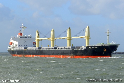
 YEDITEPE
Current Status
Where is the vessel?
YEDITEPE is currently in 15 nm SW of Tuapse, based on AIS data received about 1d ago.
Latest AIS update:
Current position: 43.91223° N, 38.83493° E (15 nm SW of Tuapse)
Average speed (last 7 days): Loading…
Average speed (last 30 days): Loading…
Vessel profile: YEDITEPE is a General Cargo Ship with dimensions 177m x 28m.
This page combines live AIS, route history, probable destination signals, nearby traffic, and port activity for practical vessel monitoring.
The current position of vessel YEDITEPE is 43.91223 lat / 38.83493 lng. Updated: 2026-05-13 07:45:44 UTCNearest reference points:
- 24 nm W of Tuapse
- 50 nm W of Sochi
- 11 nm SE of GELENDZHIK
Currently sailing under the flag of Liberia ![]()
YEDITEPE built in 2008 year
Deadweight:
32269 tDetails:
Live Vessel YEDITEPE Analytics (details, animations, etc.)
Recent AIS points (UTC):
2026-05-13 07:45:44 UTC · 43.91223, 38.83493 · SOG 12.7 kn · COG 54°2026-05-13 07:45:44 UTC · 43.91223, 38.83493 · SOG 12.7 kn · COG 54°
2026-05-13 07:45:44 UTC · 43.91223, 38.83493 · SOG 12.7 kn · COG 54°
2026-05-13 07:45:44 UTC · 43.91223, 38.83493 · SOG 12.7 kn · COG 54°