 Vos Explorer
Current Status
Where is the vessel?
Vos Explorer is currently in 19 nm N of Fulmar Field, based on AIS data received about 14h ago.
Latest AIS update:
Current position: 56.80148° N, 2.15273° E (19 nm N of Fulmar Field)
Average speed (last 7 days): Loading…
Average speed (last 30 days): Loading…
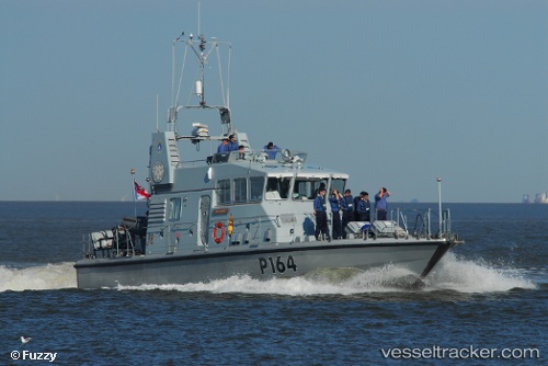
Vessel profile: Vos Explorer is a Standby Safety Vessel with dimensions 55m x 13m.
This page combines live AIS, route history, probable destination signals, nearby traffic, and port activity for practical vessel monitoring.
The current position of vessel Vos Explorer is 56.80148 lat / 2.15273 lng. Updated: 2026-06-19 16:11:37 UTCNearest reference points:
- 19 nm W of Curlew
- 26 nm W of Cleghorn
- Near Alba Oil Field
Currently sailing under the flag of United Kingdom ![]()
Vos Explorer built in 2007 year
Deadweight:
952 tDetails:
Live Vessel Vos Explorer Analytics (details, animations, etc.)
Recent AIS points (UTC):
2026-06-19 13:35:51 UTC · 56.80577, 2.14568 · SOG 2.7 kn · COG 203°2026-06-19 14:11:40 UTC · 56.77759, 2.14207 · SOG 0.9 kn · COG 149°
2026-06-19 16:04:53 UTC · 56.80045, 2.15221 · SOG 0.6 kn · COG 92°
2026-06-19 16:11:37 UTC · 56.80148, 2.15273 · SOG 0.6 kn · COG -1°