 MEDKON ANKA
Current Status
Where is the vessel?
MEDKON ANKA is currently in 11 nm NE of Port Said, based on AIS data received about 15h ago.
Latest AIS update:
Current position: 31.41105° N, 32.44668° E (11 nm NE of Port Said)
Average speed (last 7 days): Loading…
Average speed (last 30 days): Loading…
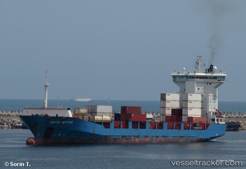
Vessel profile: MEDKON ANKA is a Container Ship with dimensions m x m.
This page combines live AIS, route history, probable destination signals, nearby traffic, and port activity for practical vessel monitoring.
The current position of vessel MEDKON ANKA is 31.41105 lat / 32.44668 lng. Updated: 2026-07-05 00:15:25 UTCNearest reference points:
- 14 nm N of Port Said
- Near Port Said
- 16 nm N of Port Said
Currently sailing under the flag of Panama ![]()
Details:
Live Vessel MEDKON ANKA Analytics (details, animations, etc.)
Recent AIS points (UTC):
2026-07-04 19:52:35 UTC · 31.41100, 32.44668 · SOG 0.1 kn · COG 305°2026-07-04 21:29:21 UTC · 31.41101, 32.44667 · SOG 0.4 kn · COG -1°
2026-07-04 22:35:42 UTC · 31.41099, 32.44663 · SOG 0.5 kn · COG 280°
2026-07-05 00:15:25 UTC · 31.41105, 32.44668 · SOG 0.3 kn · COG -1°