 vesseltracker.com
 Bomar Ceres
Current Status
Where is the vessel?
Bomar Ceres is currently in 27 nm S of Las Noras de Daza, based on AIS data received about 1h ago.
Latest AIS update:
Current position: 36.29845° N, 2.66697° W (27 nm S of Las Noras de Daza)
Average speed (last 7 days): Loading…
Average speed (last 30 days): Loading…
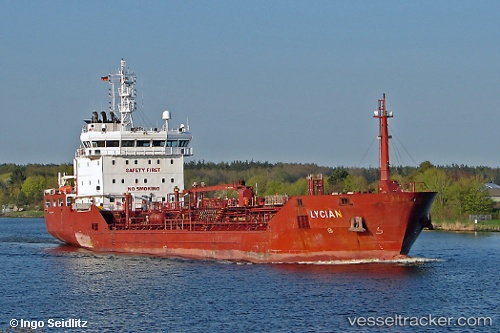
Vessel profile: Bomar Ceres is a Chemical Oil Products Tanker with dimensions 107m x 16m.
This page combines live AIS, route history, probable destination signals, nearby traffic, and port activity for practical vessel monitoring.
The current position of vessel Bomar Ceres is 36.29845 lat / -2.66697 lng. Updated: 2026-05-18 01:34:48 UTCNearest reference points:
- 37 nm S of Las Noras de Daza
- Near Las Noras de Daza
- Near ADRA
Currently sailing under the flag of Malta ![]()
Bomar Ceres built in 2007 year
Deadweight:
6064 tDetails:
Live Vessel Bomar Ceres Analytics (details, animations, etc.)
Recent AIS points (UTC):
2026-05-17 22:19:18 UTC · 36.20710, -3.41293 · SOG 11 kn · COG 79°2026-05-17 23:30:49 UTC · 36.24398, -3.14168 · SOG 11.2 kn · COG 83°
2026-05-18 01:30:49 UTC · 36.29722, -2.68238 · SOG 11.3 kn · COG 89°
2026-05-18 01:34:48 UTC · 36.29845, -2.66697 · SOG 11.2 kn · COG 79°