 CMA CGM QUELIMANE
Current Status
Where is the vessel?
CMA CGM QUELIMANE is currently in 23 nm NE of Nuevitas, based on AIS data received about 14h ago.
Latest AIS update:
Current position: 21.75023° N, 76.85904° W (23 nm NE of Nuevitas)
Average speed (last 7 days): Loading…
Average speed (last 30 days): Loading…
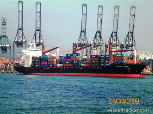
Vessel profile: CMA CGM QUELIMANE is a Container Ship with dimensions 212m x 30m.
This page combines live AIS, route history, probable destination signals, nearby traffic, and port activity for practical vessel monitoring.
The current position of vessel CMA CGM QUELIMANE is 21.75023 lat / -76.85904 lng. Updated: 2026-05-21 05:07:49 UTCNearest reference points:
- 36 nm E of Cayo Coco
- 16 nm SE of Ceiba Hueca
- Near Great Exuma Island
Currently sailing under the flag of Malta ![]()
CMA CGM QUELIMANE built in 2009 year
Deadweight:
34325 tDetails:
Live Vessel CMA CGM QUELIMANE Analytics (details, animations, etc.)
Recent AIS points (UTC):
2026-05-21 03:06:09 UTC · 21.57221, -76.44017 · SOG 12.7 kn · COG 300°2026-05-21 03:06:09 UTC · 21.57221, -76.44017 · SOG 12.7 kn · COG 300°
2026-05-21 05:07:49 UTC · 21.75023, -76.85904 · SOG 12.7 kn · COG 295°
2026-05-21 05:07:49 UTC · 21.75023, -76.85904 · SOG 12.7 kn · COG 295°