 vesseltracker.com
 Ahmet Can
Current Status
Where is the vessel?
Ahmet Can is currently in Near TULCEA, based on AIS data received about 2h ago.
Latest AIS update:
Current position: 45.22366° N, 28.71235° E (Near TULCEA)
Average speed (last 7 days): Loading…
Average speed (last 30 days): Loading…
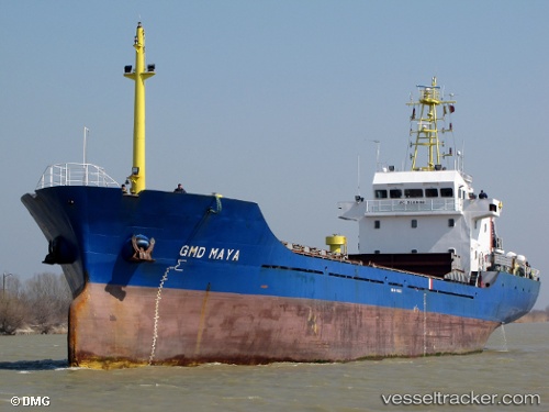
Vessel profile: Ahmet Can is a General Cargo Ship with dimensions 81m x 14m.
This page combines live AIS, route history, probable destination signals, nearby traffic, and port activity for practical vessel monitoring.
The current position of vessel Ahmet Can is 45.22366 lat / 28.71235 lng. Updated: 2026-05-13 16:41:41 UTCNearest reference points:
- Near TULCEA
- 12 nm NE of TULCEA
- Near Giurgiulesti
Currently sailing under the flag of Panama ![]()
Ahmet Can built in 2006 year
Deadweight:
3300 tDetails:
Live Vessel Ahmet Can Analytics (details, animations, etc.)
Recent AIS points (UTC):
2026-05-13 16:04:32 UTC · 45.23850, 28.78711 · SOG 5.7 kn · COG 258°2026-05-13 16:41:41 UTC · 45.22366, 28.71235 · SOG 2 kn · COG 285°
2026-05-13 16:41:41 UTC · 45.22366, 28.71235 · SOG 2 kn · COG 285°
2026-05-13 16:41:41 UTC · 45.22366, 28.71235 · SOG 2 kn · COG 285°