 YAMAL BERKUT
Current Status
Where is the vessel?
YAMAL BERKUT is currently in 74 nm N of Ostrovnoy, based on AIS data received about 16h ago.
Latest AIS update:
Current position: 69.29602° N, 39.21340° E (74 nm N of Ostrovnoy)
Average speed (last 7 days): Loading…
Average speed (last 30 days): Loading…
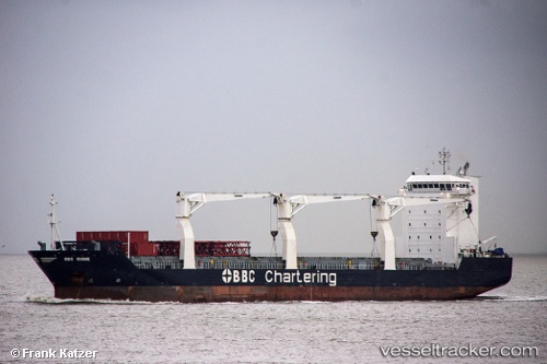
Vessel profile: YAMAL BERKUT is a General Cargo with dimensions 22m x 143m.
This page combines live AIS, route history, probable destination signals, nearby traffic, and port activity for practical vessel monitoring.
The current position of vessel YAMAL BERKUT is 69.29602 lat / 39.21340 lng. Updated: 2026-05-20 22:48:40 UTCNearest reference points:
- 52 nm SE of Ostrovnoy
- 66 nm SE of Ostrovnoy
Currently sailing under the flag of Russia ![]()
YAMAL BERKUT built in 2008 year
Deadweight:
17330 tDetails:
Live Vessel YAMAL BERKUT Analytics (details, animations, etc.)
Recent AIS points (UTC):
2026-05-20 21:48:19 UTC · 69.13492, 38.86669 · SOG 12.3 kn · COG 35°2026-05-20 21:48:19 UTC · 69.13492, 38.86669 · SOG 12.3 kn · COG 35°
2026-05-20 22:48:40 UTC · 69.29602, 39.21340 · SOG 12.1 kn · COG 37°
2026-05-20 22:48:40 UTC · 69.29602, 39.21340 · SOG 12.1 kn · COG 37°