 BOSFOR
Current Status
Where is the vessel?
BOSFOR is currently in 39 nm SE of Claonaig, based on AIS data received about 14h ago.
Latest AIS update:
Current position: 55.36033° N, 6.29322° E (39 nm SE of Claonaig)
Average speed (last 7 days): Loading…
Average speed (last 30 days): Loading…
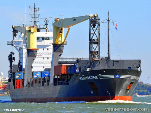
Vessel profile: BOSFOR is a General Cargo with dimensions m x m.
This page combines live AIS, route history, probable destination signals, nearby traffic, and port activity for practical vessel monitoring.
The current position of vessel BOSFOR is 55.36033 lat / 6.29322 lng. Updated: 2026-05-19 17:21:54 UTCNearest reference points:
- 36 nm W of HVIDE SANDE
- 14 nm NW of Town Quays/Drogheda
- Near Blavand
Currently sailing under the flag of Panama ![]()
Details:
Live Vessel BOSFOR Analytics (details, animations, etc.)
Recent AIS points (UTC):
2026-05-19 13:35:52 UTC · 55.86192, 6.85501 · SOG 9.3 kn · COG 209°2026-05-19 15:55:52 UTC · 55.55284, 6.50814 · SOG 9.5 kn · COG 208°
2026-05-19 16:19:30 UTC · 55.50079, 6.44963 · SOG 9.6 kn · COG 208°
2026-05-19 17:21:54 UTC · 55.36033, 6.29322 · SOG 9.5 kn · COG 203°