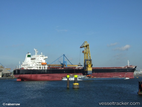
Daryabar
Current StatusWhere is the vessel?
Daryabar is currently in 55 nm W of Mathilakam, based on AIS data received about 14h ago.
Latest AIS update:
Current position: 10.04999° N, 75.27446° E (55 nm W of Mathilakam)
Average speed (last 7 days): Loading…
Average speed (last 30 days): Loading…
Vessel profile: Daryabar is a Bulk Carrier with dimensions 32m x 225m.
This page combines live AIS, route history, probable destination signals, nearby traffic, and port activity for practical vessel monitoring.
The current position of vessel Daryabar is 10.04999 lat / 75.27446 lng. Updated: 2026-07-05 07:54:02 UTCNearest reference points:
- Near Cochin
- Near Edappally
- 45 nm SW of Kalpeni Island
Details:
Live Vessel Daryabar Analytics (details, animations, etc.)
Recent AIS points (UTC):
2026-07-05 07:16:46 UTC · 10.13471, 75.23737 · SOG 9.1 kn · COG -1°2026-07-05 07:16:46 UTC · 10.13471, 75.23737 · SOG 9.1 kn · COG -1°
2026-07-05 07:54:02 UTC · 10.04999, 75.27446 · SOG 8.6 kn · COG -1°
2026-07-05 07:54:02 UTC · 10.04999, 75.27446 · SOG 8.6 kn · COG -1°