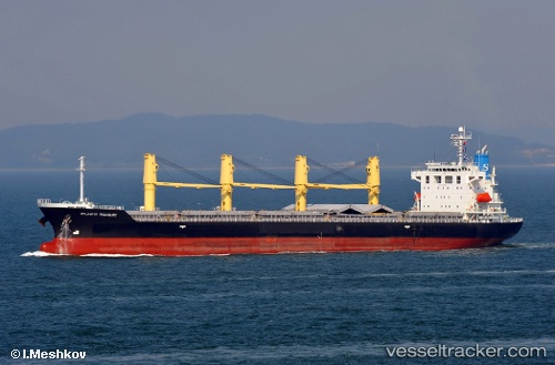
 V CETUS
Current Status
Where is the vessel?
V CETUS is currently in 27 nm W of Pointe des Galets, based on AIS data received about 14h ago.
Latest AIS update:
Current position: 20.77363° S, 54.83017° E (27 nm W of Pointe des Galets)
Average speed (last 7 days): Loading…
Average speed (last 30 days): Loading…
Vessel profile: V CETUS is a Bulk Carrier with dimensions m x m.
This page combines live AIS, route history, probable destination signals, nearby traffic, and port activity for practical vessel monitoring.
The current position of vessel V CETUS is -20.77363 lat / 54.83017 lng. Updated: 2026-05-20 22:48:15 UTCCurrently sailing under the flag of Panama ![]()
Details:
Live Vessel V CETUS Analytics (details, animations, etc.)
Recent AIS points (UTC):
2026-05-20 17:23:52 UTC · -20.89517, 54.89598 · SOG 1.2 kn · COG 244°2026-05-20 19:21:56 UTC · -20.85105, 54.87352 · SOG 1.3 kn · COG 251°
2026-05-20 21:43:54 UTC · -20.79664, 54.84325 · SOG 1.4 kn · COG 253°
2026-05-20 22:48:15 UTC · -20.77363, 54.83017 · SOG 1.6 kn · COG 247°