 vesseltracker.com
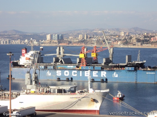
White Ivy
Current StatusWhere is the vessel?
White Ivy is currently in Near Gibraltar, based on AIS data received less than 1h ago.
Latest AIS update:
Current position: 36.07650° N, 6.28507° W (Near Gibraltar)
Average speed (last 7 days): Loading…
Average speed (last 30 days): Loading…
Vessel profile: White Ivy is a Bulk Carrier with dimensions 23m x 137m.
This page combines live AIS, route history, probable destination signals, nearby traffic, and port activity for practical vessel monitoring.
The current position of vessel White Ivy is 36.07650 lat / -6.28507 lng. Updated: 2026-05-14 15:40:47 UTCNearest reference points:
- Near Gibraltar
- Near Conil de la Frontera
- Near Cadiz
Details:
Live Vessel White Ivy Analytics (details, animations, etc.)
Recent AIS points (UTC):
2026-05-14 11:31:45 UTC · 36.07752, -6.28690 · SOG 0.1 kn · COG 212°2026-05-14 13:31:44 UTC · 36.07658, -6.28515 · SOG 0 kn · COG 272°
2026-05-14 14:01:45 UTC · 36.07637, -6.28520 · SOG 0 kn · COG 282°
2026-05-14 15:40:47 UTC · 36.07650, -6.28507 · SOG 0.2 kn · COG 276°