 Island Sky
Current Status
Where is the vessel?
Island Sky is currently in 16 nm E of Powell River, based on AIS data received about 15h ago.
Latest AIS update:
Current position: 49.78117° N, 124.17652° W (16 nm E of Powell River)
Average speed (last 7 days): Loading…
Average speed (last 30 days): Loading…
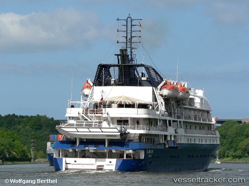
Vessel profile: Island Sky is a Passenger Ro Ro Cargo Ship with dimensions 100m x 27m.
This page combines live AIS, route history, probable destination signals, nearby traffic, and port activity for practical vessel monitoring.
The current position of vessel Island Sky is 49.78117 lat / -124.17652 lng. Updated: 2026-05-20 11:58:17 UTCNearest reference points:
- Near Powell River
- Near Nanaimo
- Near Harmac
Currently sailing under the flag of Canada ![]()
Island Sky built in 2008 year
Deadweight:
815 tDetails:
Live Vessel Island Sky Analytics (details, animations, etc.)
Recent AIS points (UTC):
2026-05-20 07:58:16 UTC · 49.78114, -124.17664 · SOG 0 kn · COG 312°2026-05-20 10:22:16 UTC · 49.78113, -124.17669 · SOG 0 kn · COG 312°
2026-05-20 10:55:16 UTC · 49.78116, -124.17655 · SOG 0 kn · COG 312°
2026-05-20 11:58:17 UTC · 49.78117, -124.17652 · SOG 0 kn · COG 312°