 vesseltracker.com
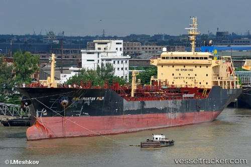
Kalimantan Palm
Current StatusWhere is the vessel?
Kalimantan Palm is currently in 14 nm W of Tanjong Bin, based on AIS data received less than 1h ago.
Latest AIS update:
Current position: 1.37245° N, 103.31612° E (14 nm W of Tanjong Bin)
Average speed (last 7 days): Loading…
Average speed (last 30 days): Loading…
Vessel profile: Kalimantan Palm is a Chemical Oil Products Tanker with dimensions 22m x 148m.
This page combines live AIS, route history, probable destination signals, nearby traffic, and port activity for practical vessel monitoring.
The current position of vessel Kalimantan Palm is 1.37245 lat / 103.31612 lng. Updated: 2026-03-29 09:40:24 UTCNearest reference points:
- 15 nm W of Tanjong Bin
- 19 nm W of Tanjong Bin
- Near Tanjong Bin
Details:
Live Vessel Kalimantan Palm Analytics (details, animations, etc.)
Recent AIS points (UTC):
2026-03-29 03:34:24 UTC · 1.37205, 103.31557 · SOG 0 kn · COG 126°2026-03-29 05:43:23 UTC · 1.37228, 103.31570 · SOG 0 kn · COG 144°
2026-03-29 07:40:24 UTC · 1.37235, 103.31583 · SOG 0 kn · COG 149°
2026-03-29 09:40:24 UTC · 1.37245, 103.31612 · SOG 0 kn · COG 162°