 GAS LOMBOK
Current Status
Where is the vessel?
GAS LOMBOK is currently in 22 nm SW of Langsa Venture FPSO, based on AIS data received about 14h ago.
Latest AIS update:
Current position: 5.07333° N, 97.77833° E (22 nm SW of Langsa Venture FPSO)
Average speed (last 7 days): Loading…
Average speed (last 30 days): Loading…
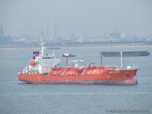
Vessel profile: GAS LOMBOK is a Lpg Tanker with dimensions m x m.
This page combines live AIS, route history, probable destination signals, nearby traffic, and port activity for practical vessel monitoring.
The current position of vessel GAS LOMBOK is 5.07333 lat / 97.77833 lng. Updated: 2026-05-21 02:18:21 UTCNearest reference points:
- 18 nm E of Langsa Venture FPSO
- 34 nm N of Langsa Venture FPSO
- 45 nm NE of Krueng Geukueh
Currently sailing under the flag of Indonesia ![]()
Details:
Live Vessel GAS LOMBOK Analytics (details, animations, etc.)
Recent AIS points (UTC):
2026-05-20 22:43:58 UTC · 4.54922, 98.22824 · SOG 11 kn · COG 313°2026-05-20 23:43:59 UTC · 4.68395, 98.09544 · SOG 11.5 kn · COG 320°
2026-05-21 01:25:27 UTC · 4.96528, 97.91397 · SOG 11.8 kn · COG 328°
2026-05-21 02:18:21 UTC · 5.07333, 97.77833 · SOG 11 kn · COG -1°