 vesseltracker.com
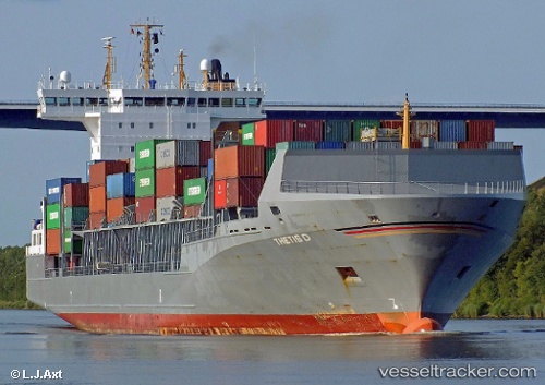
Thetis D
Current StatusWhere is the vessel?
Thetis D is currently in Near Ostermoor, based on AIS data received about 15h ago.
Latest AIS update:
Current position: 53.88317° N, 9.19433° E (Near Ostermoor)
Average speed (last 7 days): Loading…
Average speed (last 30 days): Loading…
Vessel profile: Thetis D is a Container Ship with dimensions 26m x 168m.
This page combines live AIS, route history, probable destination signals, nearby traffic, and port activity for practical vessel monitoring.
The current position of vessel Thetis D is 53.88317 lat / 9.19433 lng. Updated: 2026-05-18 05:33:31 UTCNearest reference points:
- Near Kiel Canal
- Near Abbenfleth
- Near Stader Sand
Details:
Live Vessel Thetis D Analytics (details, animations, etc.)
Recent AIS points (UTC):
2026-05-18 02:13:14 UTC · 53.53431, 9.90770 · SOG 5.5 kn · COG 326°2026-05-18 03:42:47 UTC · 53.62150, 9.54850 · SOG 13.4 kn · COG 312°
2026-05-18 04:49:07 UTC · 53.84519, 9.33178 · SOG 16.6 kn · COG 312°
2026-05-18 05:33:31 UTC · 53.88317, 9.19433 · SOG 1.2 kn · COG 110°