 MARIA FAITH
Current Status
Where is the vessel?
MARIA FAITH is currently in 15 nm NE of Gulfmex Lightering Area, based on AIS data received about 14h ago.
Latest AIS update:
Current position: 27.97667° N, 90.71000° W (15 nm NE of Gulfmex Lightering Area)
Average speed (last 7 days): Loading…
Average speed (last 30 days): Loading…
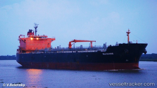
Vessel profile: MARIA FAITH is a Oil/Chemical Tanker with dimensions m x m.
This page combines live AIS, route history, probable destination signals, nearby traffic, and port activity for practical vessel monitoring.
The current position of vessel MARIA FAITH is 27.97667 lat / -90.71000 lng. Updated: 2026-05-20 01:40:13 UTCNearest reference points:
- Near Port Fourchon
- 66 nm NW of Gulfmex Lightering Area
- Near FOURCHON
Currently sailing under the flag of Marshall Islands ![]()
Details:
Live Vessel MARIA FAITH Analytics (details, animations, etc.)
Recent AIS points (UTC):
2026-05-19 22:16:11 UTC · 27.92667, -91.38333 · SOG 10 kn · COG -1°2026-05-20 00:13:09 UTC · 27.97667, -90.99833 · SOG 10 kn · COG -1°
2026-05-20 01:22:10 UTC · 27.97833, -90.76833 · SOG 10 kn · COG -1°
2026-05-20 01:40:13 UTC · 27.97667, -90.71000 · SOG 10 kn · COG -1°