 vesseltracker.com
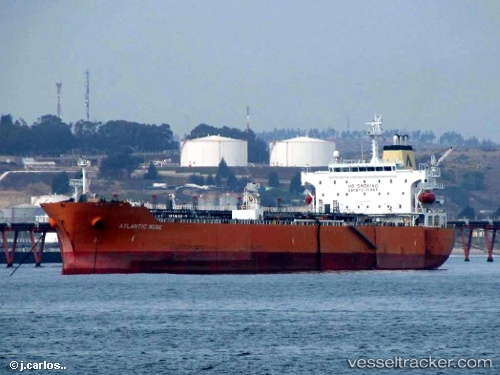
 SEAWAYS MUSE
Current Status
Where is the vessel?
SEAWAYS MUSE is currently in 22 nm W of Buitrago del Lozoya, based on AIS data received about 14h ago.
Latest AIS update:
Current position: 41.07797° N, 3.14794° E (22 nm W of Buitrago del Lozoya)
Average speed (last 7 days): Loading…
Average speed (last 30 days): Loading…
Vessel profile: SEAWAYS MUSE is a Oil/Chemical Tanker with dimensions m x m.
This page combines live AIS, route history, probable destination signals, nearby traffic, and port activity for practical vessel monitoring.
The current position of vessel SEAWAYS MUSE is 41.07797 lat / 3.14794 lng. Updated: 2026-05-17 22:45:32 UTCNearest reference points:
- Near PORT BALIS
- Near Barcelona
- Near PREMIA DE MAR
Currently sailing under the flag of Marshall Islands ![]()
Details:
Live Vessel SEAWAYS MUSE Analytics (details, animations, etc.)
Recent AIS points (UTC):
2026-05-17 19:33:32 UTC · 40.58304, 2.54770 · SOG 12.9 kn · COG 43°2026-05-17 20:09:22 UTC · 40.67836, 2.66071 · SOG 12.8 kn · COG 43°
2026-05-17 21:42:02 UTC · 40.91131, 2.95471 · SOG 12.2 kn · COG 40°
2026-05-17 22:45:32 UTC · 41.07797, 3.14794 · SOG 12.7 kn · COG 42°