 vesseltracker.com
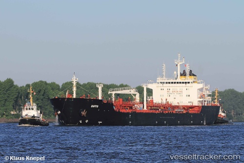
 Maersk Kara
Current Status
Where is the vessel?
Maersk Kara is currently in Near Chongming, based on AIS data received about 14h ago.
Latest AIS update:
Current position: 31.58655° N, 121.46504° E (Near Chongming)
Average speed (last 7 days): Loading…
Average speed (last 30 days): Loading…
Vessel profile: Maersk Kara is a Chemical Oil Products Tanker with dimensions 183m x 27m.
This page combines live AIS, route history, probable destination signals, nearby traffic, and port activity for practical vessel monitoring.
The current position of vessel Maersk Kara is 31.58655 lat / 121.46504 lng. Updated: 2026-05-18 04:23:15 UTCNearest reference points:
- Near Chongming
- Near Baoshan Pt
- Near Wu-Sung
Currently sailing under the flag of Singapore ![]()
Maersk Kara built in 2008 year
Deadweight:
38396 tDetails:
Live Vessel Maersk Kara Analytics (details, animations, etc.)
Recent AIS points (UTC):
2026-05-18 01:38:14 UTC · 31.58650, 121.46511 · SOG 0 kn · COG 299°2026-05-18 01:41:14 UTC · 31.58646, 121.46508 · SOG 0 kn · COG 299°
2026-05-18 03:23:15 UTC · 31.58650, 121.46505 · SOG 0 kn · COG 300°
2026-05-18 04:23:15 UTC · 31.58655, 121.46504 · SOG 0 kn · COG 301°