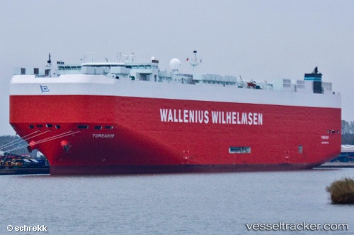
 Toreador
Current Status
Where is the vessel?
Toreador is currently in 297 nm S of Achau, based on AIS data received about 15h ago.
Latest AIS update:
Current position: 43.94671° N, 160.38966° W (297 nm S of Achau)
Average speed (last 7 days): Loading…
Average speed (last 30 days): Loading…
Vessel profile: Toreador is a Vehicles Carrier with dimensions 200m x 33m.
This page combines live AIS, route history, probable destination signals, nearby traffic, and port activity for practical vessel monitoring.
The current position of vessel Toreador is 43.94671 lat / -160.38966 lng. Updated: 2026-05-19 22:07:06 UTCNearest reference points:
- Open sea, approx. 401 nm off the nearest listed port
- Open sea, approx. 402 nm off the nearest listed port
- Open sea, approx. 407 nm off the nearest listed port
Currently sailing under the flag of Malta ![]()
Toreador built in 2008 year
Deadweight:
22098 tDetails:
Live Vessel Toreador Analytics (details, animations, etc.)
Recent AIS points (UTC):
2026-05-19 19:59:45 UTC · 43.94500, -159.54036 · SOG 17.2 kn · COG 270°2026-05-19 20:14:13 UTC · 43.94564, -159.63637 · SOG 17.2 kn · COG 272°
2026-05-19 21:27:31 UTC · 43.94703, -160.12698 · SOG 17.3 kn · COG 270°
2026-05-19 22:07:06 UTC · 43.94671, -160.38966 · SOG 17.4 kn · COG 270°