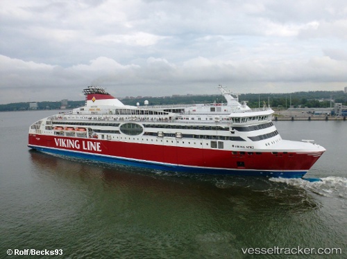
 VIKING XPRS
Current Status
Where is the vessel?
VIKING XPRS is currently in Near Vanasadam, based on AIS data received about 14h ago.
Latest AIS update:
Current position: 59.44552° N, 24.76292° E (Near Vanasadam)
Average speed (last 7 days): Loading…
Average speed (last 30 days): Loading…
Vessel profile: VIKING XPRS is a Ro-Ro/Passenger Ship with dimensions m x m.
This page combines live AIS, route history, probable destination signals, nearby traffic, and port activity for practical vessel monitoring.
The current position of vessel VIKING XPRS is 59.44552 lat / 24.76292 lng. Updated: 2026-06-03 02:42:00 UTCNearest reference points:
- Near Vanasadam
- Near Aegna
- Near Nurme
Currently sailing under the flag of Finland ![]()
Details:
Live Vessel VIKING XPRS Analytics (details, animations, etc.)
Recent AIS points (UTC):
2026-06-02 23:15:02 UTC · 59.44553, 24.76292 · SOG 0 kn · COG 232°2026-06-03 00:11:59 UTC · 59.44553, 24.76291 · SOG 0 kn · COG 232°
2026-06-03 01:24:00 UTC · 59.44553, 24.76292 · SOG 0 kn · COG 232°
2026-06-03 02:42:00 UTC · 59.44552, 24.76292 · SOG 0 kn · COG 232°