 Atlantica Bay
Current Status
Where is the vessel?
Atlantica Bay is currently in 274 nm W of Tinaquillo, based on AIS data received about 14h ago.
Latest AIS update:
Current position: 10.27833° N, 63.67500° E (274 nm W of Tinaquillo)
Average speed (last 7 days): Loading…
Average speed (last 30 days): Loading…
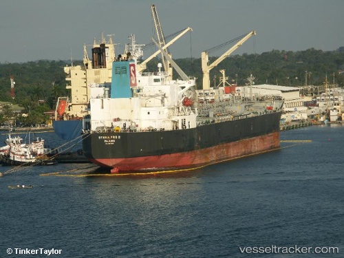
Vessel profile: Atlantica Bay is a Chemical Oil Products Tanker with dimensions 183m x 32m.
This page combines live AIS, route history, probable destination signals, nearby traffic, and port activity for practical vessel monitoring.
The current position of vessel Atlantica Bay is 10.27833 lat / 63.67500 lng. Updated: 2026-06-17 13:12:53 UTCNearest reference points:
- Open sea, approx. 400 nm off the nearest listed port
- Open sea, approx. 401 nm off the nearest listed port
- Open sea (no nearby ports in database)
Currently sailing under the flag of Liberia ![]()
Atlantica Bay built in 2007 year
Deadweight:
46763 tDetails:
Live Vessel Atlantica Bay Analytics (details, animations, etc.)
Recent AIS points (UTC):
2026-06-17 10:24:53 UTC · 10.74667, 64.00667 · SOG 11 kn · COG -1°2026-06-17 10:54:52 UTC · 10.66333, 63.95167 · SOG 11 kn · COG -1°
2026-06-17 11:18:57 UTC · 10.59666, 63.90500 · SOG 12 kn · COG -1°
2026-06-17 13:12:53 UTC · 10.27833, 63.67500 · SOG 12 kn · COG -1°