 Magic Wand
Current Status
Where is the vessel?
Magic Wand is currently in 55 nm NW of Cide, based on AIS data received about 16h ago.
Latest AIS update:
Current position: 42.62247° N, 32.21483° E (55 nm NW of Cide)
Average speed (last 7 days): Loading…
Average speed (last 30 days): Loading…
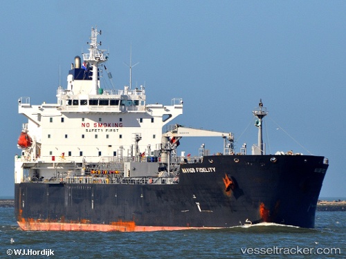
Vessel profile: Magic Wand is a Chemical Oil Products Tanker with dimensions 183m x 32m.
This page combines live AIS, route history, probable destination signals, nearby traffic, and port activity for practical vessel monitoring.
The current position of vessel Magic Wand is 42.62247 lat / 32.21483 lng. Updated: 2026-05-22 01:47:30 UTCNearest reference points:
- Near Cide
- 27 nm NW of INEBOLU
- 18 nm NW of INEBOLU
Currently sailing under the flag of Liberia ![]()
Magic Wand built in 2008 year
Deadweight:
46754 tDetails:
Live Vessel Magic Wand Analytics (details, animations, etc.)
Recent AIS points (UTC):
2026-05-21 03:35:46 UTC · 44.89175, 38.05723 · SOG 14.2 kn · COG 143°2026-05-21 03:35:46 UTC · 44.89175, 38.05723 · SOG 14.2 kn · COG 143°
2026-05-22 01:47:30 UTC · 42.62247, 32.21483 · SOG 12.5 kn · COG 243°
2026-05-22 01:47:30 UTC · 42.62247, 32.21483 · SOG 12.5 kn · COG 243°