 SEA CORAL
Current Status
Where is the vessel?
SEA CORAL is currently in 86 nm E of Gigmoto, Catanduanes, based on AIS data received about 14h ago.
Latest AIS update:
Current position: 13.77557° N, 125.86398° E (86 nm E of Gigmoto, Catanduanes)
Average speed (last 7 days): Loading…
Average speed (last 30 days): Loading…
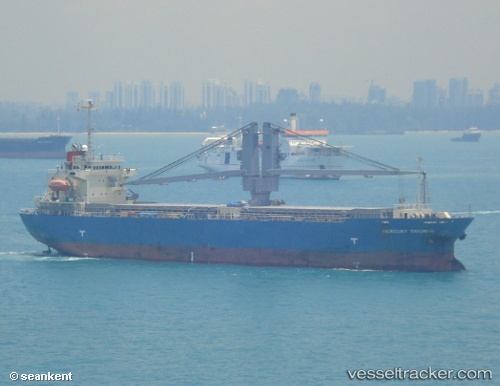
Vessel profile: SEA CORAL is a General Cargo with dimensions m x m.
This page combines live AIS, route history, probable destination signals, nearby traffic, and port activity for practical vessel monitoring.
The current position of vessel SEA CORAL is 13.77557 lat / 125.86398 lng. Updated: 2026-05-19 21:03:40 UTCNearest reference points:
- 40 nm N of Gigmoto, Catanduanes
Currently sailing under the flag of Marshall Islands ![]()
Details:
Live Vessel SEA CORAL Analytics (details, animations, etc.)
Recent AIS points (UTC):
2026-05-19 18:25:38 UTC · 14.27337, 125.81160 · SOG 11.5 kn · COG 172°2026-05-19 18:25:38 UTC · 14.27337, 125.81160 · SOG 11.5 kn · COG 172°
2026-05-19 21:03:40 UTC · 13.77557, 125.86398 · SOG 11 kn · COG 168°
2026-05-19 21:03:40 UTC · 13.77557, 125.86398 · SOG 11 kn · COG 168°