 PACIFIC FORTITUDE
Current Status
Where is the vessel?
PACIFIC FORTITUDE is currently in 78 nm S of Kumul, based on AIS data received about 14h ago.
Latest AIS update:
Current position: 9.33352° S, 144.98610° E (78 nm S of Kumul)
Average speed (last 7 days): Loading…
Average speed (last 30 days): Loading…
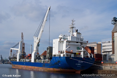
Vessel profile: PACIFIC FORTITUDE is a General Cargo Ship with dimensions 21m x 139m.
This page combines live AIS, route history, probable destination signals, nearby traffic, and port activity for practical vessel monitoring.
The current position of vessel PACIFIC FORTITUDE is -9.33352 lat / 144.98610 lng. Updated: 2026-05-22 21:40:04 UTCCurrently sailing under the flag of Liberia ![]()
PACIFIC FORTITUDE built in 2007 year
Deadweight:
12740 tDetails:
Live Vessel PACIFIC FORTITUDE Analytics (details, animations, etc.)
Recent AIS points (UTC):
2026-05-22 18:21:39 UTC · -9.40871, 145.72383 · SOG 13.2 kn · COG 276°2026-05-22 19:10:28 UTC · -9.38864, 145.54518 · SOG 13.5 kn · COG 276°
2026-05-22 19:27:36 UTC · -9.38176, 145.48251 · SOG 12.9 kn · COG 276°
2026-05-22 21:40:04 UTC · -9.33352, 144.98610 · SOG 13.4 kn · COG 276°