 SIMBA
SIMBA
Current Status
Where is the vessel?
SIMBA is currently in 369 nm S of Ljubescica, based on AIS data received about 14h ago.
Latest AIS update:
Current position: 40.01282° N, 162.92157° E (369 nm S of Ljubescica)
Average speed (last 7 days): Loading…
Average speed (last 30 days): Loading…
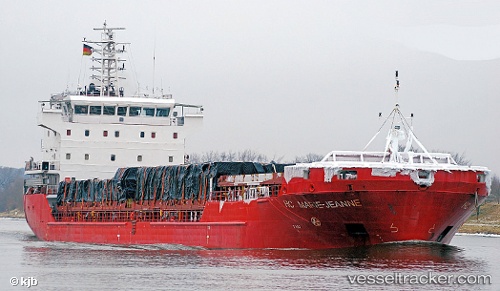
Vessel profile: SIMBA is a General Cargo with dimensions m x m.
This page combines live AIS, route history, probable destination signals, nearby traffic, and port activity for practical vessel monitoring.
The current position of vessel SIMBA is 40.01282 lat / 162.92157 lng. Updated: 2026-05-22 02:17:31 UTCNearest reference points:
- Open sea (no nearby ports in database)
- Open sea, approx. 403 nm off the nearest listed port
- Open sea, approx. 401 nm off the nearest listed port
Currently sailing under the flag of Antigua and Barbuda ![]()
Details:
Live Vessel SIMBA Analytics (details, animations, etc.)
Recent AIS points (UTC):
2026-05-21 21:27:42 UTC · 40.23178, 161.31731 · SOG 15.4 kn · COG 99°2026-05-21 21:59:05 UTC · 40.20833, 161.48833 · SOG 15 kn · COG -1°
2026-05-22 01:35:09 UTC · 40.04667, 162.68333 · SOG 15 kn · COG -1°
2026-05-22 02:17:31 UTC · 40.01282, 162.92157 · SOG 15.7 kn · COG 97°