 AKCENT
Current Status
Where is the vessel?
AKCENT is currently in 27 nm SE of ZHOUSHAN, based on AIS data received about 14h ago.
Latest AIS update:
Current position: 29.67820° N, 122.60211° E (27 nm SE of ZHOUSHAN)
Average speed (last 7 days): Loading…
Average speed (last 30 days): Loading…
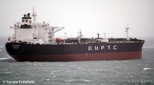
Vessel profile: AKCENT is a Crude Oil Tanker with dimensions m x m.
This page combines live AIS, route history, probable destination signals, nearby traffic, and port activity for practical vessel monitoring.
The current position of vessel AKCENT is 29.67820 lat / 122.60211 lng. Updated: 2026-05-20 04:13:14 UTCNearest reference points:
- 24 nm SE of ZHOUSHAN
- 25 nm SE of ZHOUSHAN
- 20 nm SE of ZHOUSHAN
Currently sailing under the flag of Russia ![]()
Details:
Live Vessel AKCENT Analytics (details, animations, etc.)
Recent AIS points (UTC):
2026-05-20 01:25:53 UTC · 29.88865, 122.19951 · SOG 8.7 kn · COG 225°2026-05-20 01:44:03 UTC · 29.85290, 122.19559 · SOG 10.5 kn · COG 148°
2026-05-20 03:35:32 UTC · 29.68996, 122.46689 · SOG 10.7 kn · COG 114°
2026-05-20 04:13:14 UTC · 29.67820, 122.60211 · SOG 9.8 kn · COG 104°