 ENY
ENY
Current Status
Where is the vessel?
ENY is currently in 107 nm S of Shidao Pt, based on AIS data received about 14h ago.
Latest AIS update:
Current position: 35.15105° N, 123.03165° E (107 nm S of Shidao Pt)
Average speed (last 7 days): Loading…
Average speed (last 30 days): Loading…
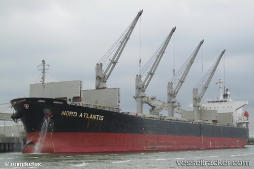
Vessel profile: ENY is a Bulk Carrier with dimensions 32m x 190m.
This page combines live AIS, route history, probable destination signals, nearby traffic, and port activity for practical vessel monitoring.
The current position of vessel ENY is 35.15105 lat / 123.03165 lng. Updated: 2026-05-19 19:53:50 UTCNearest reference points:
- 83 nm SE of Shidao Pt
- 67 nm S of Shidao Pt
- 67 nm SE of Shidao Pt
Currently sailing under the flag of Korea (Republic of) ![]()
ENY built in 2006 year
Deadweight:
53525 tDetails:
Live Vessel ENY Analytics (details, animations, etc.)
Recent AIS points (UTC):
2026-05-19 16:34:50 UTC · 34.57926, 123.64723 · SOG 13.7 kn · COG 323°2026-05-19 17:34:50 UTC · 34.75306, 123.47040 · SOG 13.6 kn · COG 310°
2026-05-19 19:33:40 UTC · 35.07901, 123.07951 · SOG 14.3 kn · COG -1°
2026-05-19 19:53:50 UTC · 35.15105, 123.03165 · SOG 14.1 kn · COG -1°