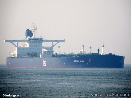
Manifa
Current StatusWhere is the vessel?
Manifa is currently in 43 nm NW of Brebes, based on AIS data received about 14h ago.
Latest AIS update:
Current position: 7.53961° N, 109.20850° E (43 nm NW of Brebes)
Average speed (last 7 days): Loading…
Average speed (last 30 days): Loading…
Vessel profile: Manifa is a Crude Oil Tanker with dimensions 60m x 333m.
This page combines live AIS, route history, probable destination signals, nearby traffic, and port activity for practical vessel monitoring.
The current position of vessel Manifa is 7.53961 lat / 109.20850 lng. Updated: 2026-07-16 00:11:02 UTCNearest reference points:
- 41 nm NW of Brebes
- 30 nm SW of Dai Hung (Tandem Load)
- 11 nm N of Gombong
Details:
Live Vessel Manifa Analytics (details, animations, etc.)
Recent AIS points (UTC):
2026-07-15 19:40:33 UTC · 6.94153, 108.61853 · SOG 10.9 kn · COG 45°2026-07-15 22:11:14 UTC · 7.27050, 108.94062 · SOG 10.8 kn · COG -1°
2026-07-15 22:18:22 UTC · 7.28720, 108.95518 · SOG 10.8 kn · COG 42°
2026-07-16 00:11:02 UTC · 7.53961, 109.20850 · SOG 11.9 kn · COG 46°