 vesseltracker.com
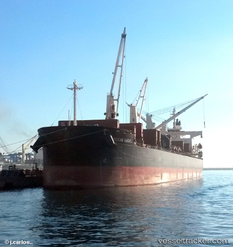
Free State
Current StatusWhere is the vessel?
Free State is currently in 71 nm S of Akrotiri, based on AIS data received about 16h ago.
Latest AIS update:
Current position: 33.49282° N, 32.42638° E (71 nm S of Akrotiri)
Average speed (last 7 days): Loading…
Average speed (last 30 days): Loading…
Vessel profile: Free State is a Bulk Carrier with dimensions 32m x 185m.
This page combines live AIS, route history, probable destination signals, nearby traffic, and port activity for practical vessel monitoring.
The current position of vessel Free State is 33.49282 lat / 32.42638 lng. Updated: 2026-05-18 11:14:13 UTCNearest reference points:
- 68 nm SW of Paphos
- 11 nm SE of Paphos
- Near Limassol
Details:
Live Vessel Free State Analytics (details, animations, etc.)
Recent AIS points (UTC):
2026-05-18 11:14:13 UTC · 33.49282, 32.42638 · SOG 1.6 kn · COG 204°2026-05-18 11:14:13 UTC · 33.49282, 32.42638 · SOG 1.6 kn · COG 204°
2026-05-18 11:14:13 UTC · 33.49282, 32.42638 · SOG 1.6 kn · COG 204°
2026-05-18 11:14:13 UTC · 33.49282, 32.42638 · SOG 1.6 kn · COG 204°