 Orawa
Orawa
Current Status
Where is the vessel?
Orawa is currently in Near Rio Grande, based on AIS data received about 14h ago.
Latest AIS update:
Current position: 32.04785° S, 52.07264° W (Near Rio Grande)
Average speed (last 7 days): Loading…
Average speed (last 30 days): Loading…
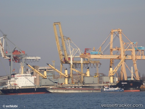
Vessel profile: Orawa is a Bulk Carrier with dimensions 190m x 190m.
This page combines live AIS, route history, probable destination signals, nearby traffic, and port activity for practical vessel monitoring.
The current position of vessel Orawa is -32.04785 lat / -52.07264 lng. Updated: 2026-05-20 04:08:24 UTCNearest reference points:
- Near Rio Grande
- 24 nm SE of São José do Norte
- 55 nm SE of Chui
Currently sailing under the flag of Bahamas ![]()
Orawa built in 2009 year
Deadweight:
38056 tDetails:
Live Vessel Orawa Analytics (details, animations, etc.)
Recent AIS points (UTC):
2026-05-19 23:26:22 UTC · -32.04787, -52.07264 · SOG 0 kn · COG 344°2026-05-20 01:38:23 UTC · -32.04786, -52.07264 · SOG 0 kn · COG 344°
2026-05-20 01:38:23 UTC · -32.04786, -52.07264 · SOG 0 kn · COG 344°
2026-05-20 04:08:24 UTC · -32.04785, -52.07264 · SOG 0 kn · COG 344°