 vesseltracker.com
 BLUE INTEGRITY
Current Status
Where is the vessel?
BLUE INTEGRITY is currently in Near Jazan Economic City, based on AIS data received about 1h ago.
Latest AIS update:
Current position: 17.27745° N, 42.18051° E (Near Jazan Economic City)
Average speed (last 7 days): Loading…
Average speed (last 30 days): Loading…
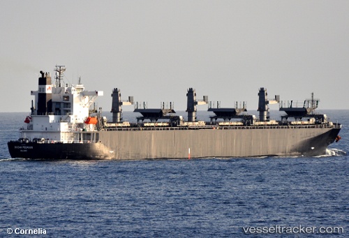
Vessel profile: BLUE INTEGRITY is a Crude Oil Tanker with dimensions 42m x 246m.
This page combines live AIS, route history, probable destination signals, nearby traffic, and port activity for practical vessel monitoring.
The current position of vessel BLUE INTEGRITY is 17.27745 lat / 42.18051 lng. Updated: 2026-05-18 05:44:02 UTCNearest reference points:
- Near Jazan Economic City
- 92 nm SW of Al Qahmah
- 81 nm NW of As Salif
Currently sailing under the flag of Liberia ![]()
BLUE INTEGRITY built in 2009 year
Deadweight:
108926 tDetails:
Live Vessel BLUE INTEGRITY Analytics (details, animations, etc.)
Recent AIS points (UTC):
2026-05-18 02:01:48 UTC · 17.27585, 42.17905 · SOG 0 kn · COG 298°2026-05-18 02:26:58 UTC · 17.27754, 42.18083 · SOG 0.4 kn · COG 287°
2026-05-18 02:26:58 UTC · 17.27754, 42.18083 · SOG 0.4 kn · COG 287°
2026-05-18 05:44:02 UTC · 17.27745, 42.18051 · SOG 0 kn · COG 277°