 vesseltracker.com
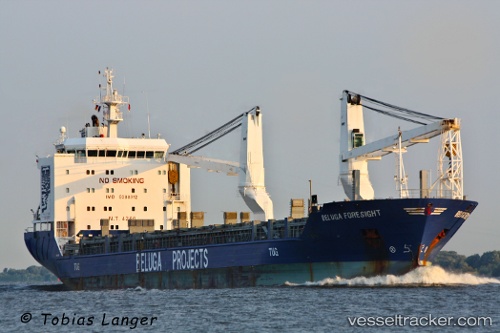
 PACIFIC FORTUNE
Current Status
Where is the vessel?
PACIFIC FORTUNE is currently in Near Nha Be, based on AIS data received about 14h ago.
Latest AIS update:
Current position: 10.71095° N, 106.75442° E (Near Nha Be)
Average speed (last 7 days): Loading…
Average speed (last 30 days): Loading…
Vessel profile: PACIFIC FORTUNE is a General Cargo with dimensions m x m.
This page combines live AIS, route history, probable destination signals, nearby traffic, and port activity for practical vessel monitoring.
The current position of vessel PACIFIC FORTUNE is 10.71095 lat / 106.75442 lng. Updated: 2026-05-18 07:11:02 UTCNearest reference points:
- Near Nha Be
- Near Cat Lai Oil Port
- Near Saigon Petro Oil Terminal
Currently sailing under the flag of Marshall Islands ![]()
Details:
Live Vessel PACIFIC FORTUNE Analytics (details, animations, etc.)
Recent AIS points (UTC):
2026-05-18 03:27:09 UTC · 10.71092, 106.75436 · SOG 0 kn · COG 192°2026-05-18 04:16:19 UTC · 10.71092, 106.75438 · SOG 0 kn · COG 193°
2026-05-18 06:21:19 UTC · 10.71095, 106.75436 · SOG 0 kn · COG 192°
2026-05-18 07:11:02 UTC · 10.71095, 106.75442 · SOG 0.3 kn · COG 187°