 IVORY C. PROSPERITY
Current Status
Where is the vessel?
IVORY C. PROSPERITY is currently in 23 nm NW of Hongdo, based on AIS data received about 1d ago.
Latest AIS update:
Current position: 34.98274° N, 124.93893° E (23 nm NW of Hongdo)
Average speed (last 7 days): Loading…
Average speed (last 30 days): Loading…
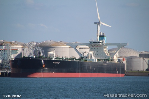
Vessel profile: IVORY C. PROSPERITY is a Crude Oil Tanker with dimensions m x m.
This page combines live AIS, route history, probable destination signals, nearby traffic, and port activity for practical vessel monitoring.
The current position of vessel IVORY C. PROSPERITY is 34.98274 lat / 124.93893 lng. Updated: 2026-05-20 20:38:37 UTCNearest reference points:
- 19 nm NW of Sangwangdeungdo
- Near Songgong
- 77 nm W of Hongdo
Currently sailing under the flag of Liberia ![]()
Details:
Live Vessel IVORY C. PROSPERITY Analytics (details, animations, etc.)
Recent AIS points (UTC):
2026-05-20 20:38:37 UTC · 34.98274, 124.93893 · SOG 11.4 kn · COG 20°2026-05-20 20:38:37 UTC · 34.98274, 124.93893 · SOG 11.4 kn · COG 20°
2026-05-20 20:38:37 UTC · 34.98274, 124.93893 · SOG 11.4 kn · COG 20°
2026-05-20 20:38:37 UTC · 34.98274, 124.93893 · SOG 11.4 kn · COG 20°