 NUR K
NUR K
Current Status
Where is the vessel?
NUR K is currently in Near Ubli, based on AIS data received about 14h ago.
Latest AIS update:
Current position: 42.60653° N, 16.89090° E (Near Ubli)
Average speed (last 7 days): Loading…
Average speed (last 30 days): Loading…
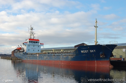
Vessel profile: NUR K is a General Cargo with dimensions m x m.
This page combines live AIS, route history, probable destination signals, nearby traffic, and port activity for practical vessel monitoring.
The current position of vessel NUR K is 42.60653 lat / 16.89090 lng. Updated: 2026-05-19 23:59:53 UTCNearest reference points:
- Near Kardeljevo
- Near Dugi Rat
- Near Stobrec
Currently sailing under the flag of Comoros ![]()
Details:
Live Vessel NUR K Analytics (details, animations, etc.)
Recent AIS points (UTC):
2026-05-19 19:34:13 UTC · 42.82473, 16.12717 · SOG 8 kn · COG 115°2026-05-19 21:40:12 UTC · 42.68640, 16.46632 · SOG 8.3 kn · COG 111°
2026-05-19 22:48:32 UTC · 42.64692, 16.67267 · SOG 8.4 kn · COG 103°
2026-05-19 23:59:53 UTC · 42.60653, 16.89090 · SOG 8.5 kn · COG 102°