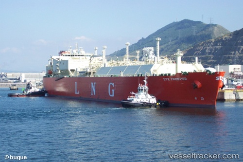
 FSRU ALEXANDROUPOLIS
Current Status
Where is the vessel?
FSRU ALEXANDROUPOLIS is currently in Near Alexandroupolis, based on AIS data received about 15h ago.
Latest AIS update:
Current position: 40.76209° N, 25.71426° E (Near Alexandroupolis)
Average speed (last 7 days): Loading…
Average speed (last 30 days): Loading…
Vessel profile: FSRU ALEXANDROUPOLIS is a Lng Tanker with dimensions m x m.
This page combines live AIS, route history, probable destination signals, nearby traffic, and port activity for practical vessel monitoring.
The current position of vessel FSRU ALEXANDROUPOLIS is 40.76209 lat / 25.71426 lng. Updated: 2026-05-18 23:31:40 UTCNearest reference points:
- 10 nm W of Akcansa
- Near Bozcaada
- Near Dardanelles
Currently sailing under the flag of Greece ![]()
Details:
Live Vessel FSRU ALEXANDROUPOLIS Analytics (details, animations, etc.)
Recent AIS points (UTC):
2026-05-18 20:01:40 UTC · 40.76208, 25.71426 · SOG 0 kn · COG 207°2026-05-18 21:34:40 UTC · 40.76208, 25.71427 · SOG 0 kn · COG 207°
2026-05-18 22:49:40 UTC · 40.76208, 25.71428 · SOG 0 kn · COG 207°
2026-05-18 23:31:40 UTC · 40.76209, 25.71426 · SOG 0 kn · COG 207°